Trike Weight Shift Control LSA Pilot Airspace Maps Aeronautical Charts
FAA Aeronautical Charts
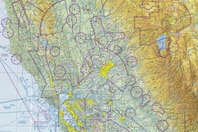
The FAA Aeronautical Charts provide information on the airspace, airports and used for flight navigation, the maps of the sky.
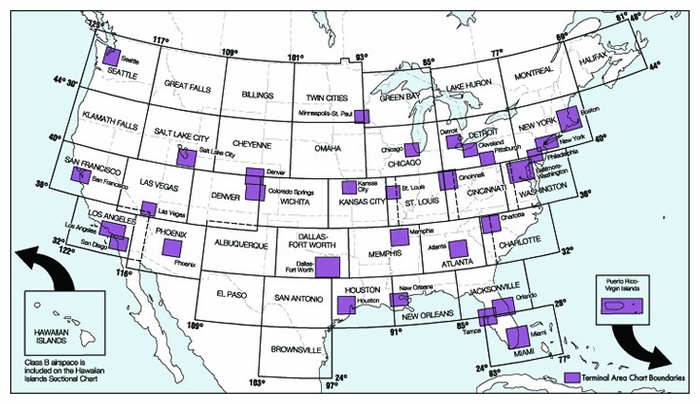
Above shows the index for the Sectional Aeronautical Charts with the more detailed Terminal Area Charts shown in purple for the big city Class B airports.
Aeronautical charts can be found at most airports and pilot shops locally click here for agents near you.
If you want to order online just search the web for “buy FAA Sectional Aeronautical Chart”.
SkyVector
A popular way to view the charts on line is with SkyVector. Flight planning is easy with their free online flight planner and large collection of Aeronautical Charts.
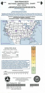
Sectional Aeronautical Chart with San Francisco California in the lower right and Reno Nevada in the upper left.
Searching the web for “FAA Aeronautical Charts” will provide a number of resources for paper and online resources.